
Spatial intelligence
See environmental reports on a live GIS map, cluster hotspots, and act on what the landscape is telling you.
An Environmental Intelligence Platform
Sense environmental issues, understand them on the map and dashboard, and coordinate verified response — so organizations act on intelligence, not noise.
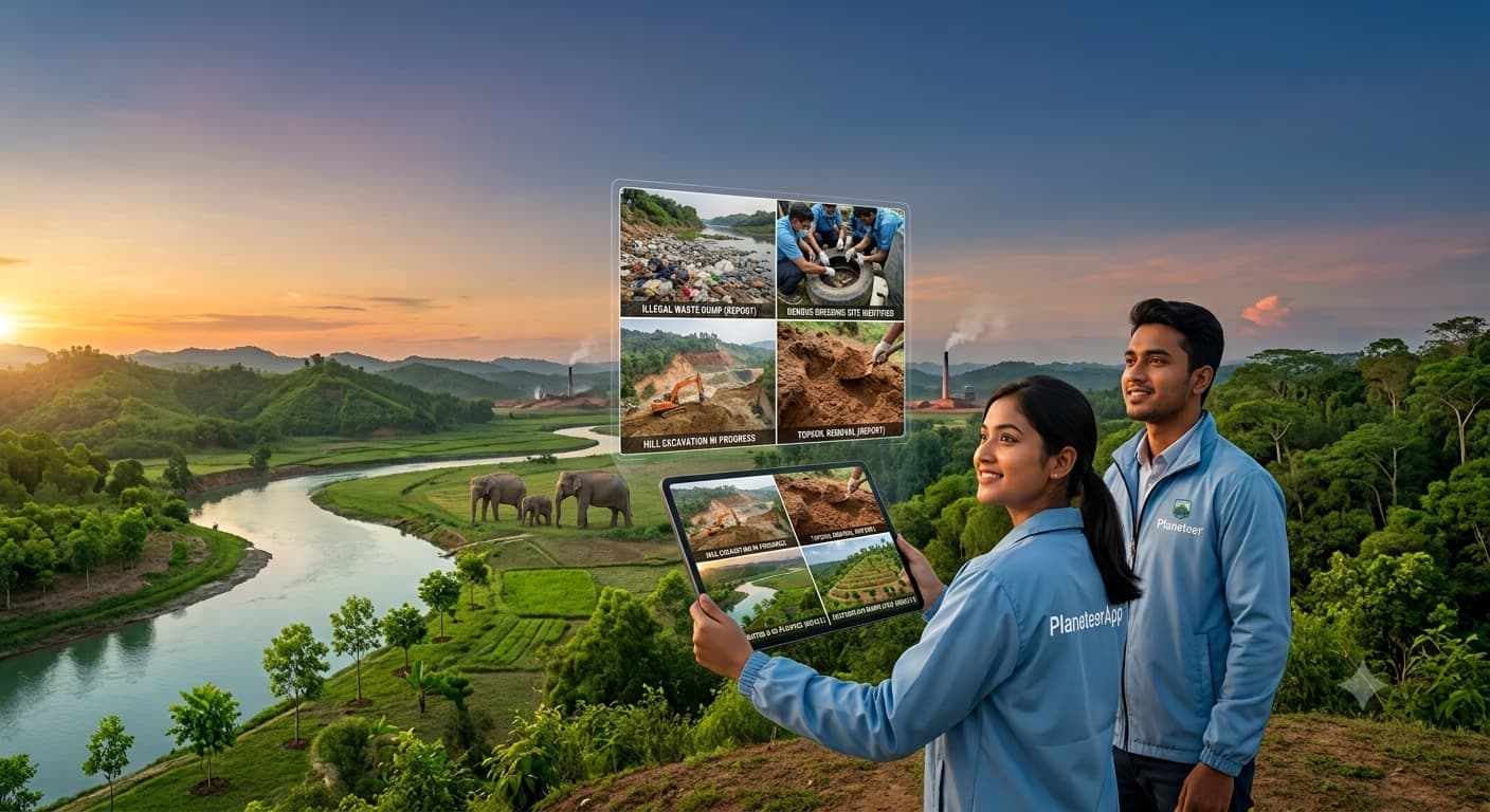
PlaneteerApp connects field signals, spatial context, and coordinated response so teams see what is happening — and know what to do next.
See environmental reports on a live GIS map, cluster hotspots, and act on what the landscape is telling you.
Turn citizen signals into structured cases — triage, assign, review proof, and close with a clear audit trail.
Match responders by category and location so the right expertise reaches the right incident faster.
Surface aging reports, stale tasks, and failed validation so nothing critical slips through unnoticed.
Each organization works inside its own scoped categories and data — secure for partners and municipalities.
Founder, executive, and admin roles protect who can invite staff, manage organizations, and change records.
Sense → understand → act → learn. A continuous cycle that keeps field evidence connected to operational decisions.
Citizens and Planeteers capture environmental signals with photos and precise location.
Admins interpret reports on the dashboard, map, and alerts to prioritize what matters.
Responders execute field work and submit proof so outcomes are visible and accountable.
Verify results, close cases, and retain intelligence that improves the next response.
Select a role to see how PlaneteerApp supports sensing, decision-making, and field response.
Sign in to the console if you have access, or get the citizen app to contribute field signals.